


NZ Topographic Maps for Outdoor Navigation
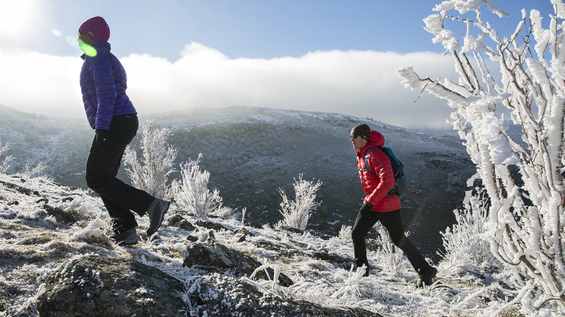
A paper topographic map is still one of the most reliable navigation tools in the NZ backcountry. Unlike a phone or GPS device, it doesn't run out of battery, doesn't lose signal, and can be read in any weather. For serious trampers, hunters and outdoor recreationists, having the right topo map for your area is a fundamental part of trip planning.
Dwights stocks NZ topographic maps in the standard Topo50 series, produced by Land Information New Zealand (LINZ). Topo50 maps cover the entire country at 1:50,000 scale — detailed enough to navigate trails, ridges, rivers and huts with confidence. Regional and activity-specific maps are also available for popular tramping areas.
Maps work best when combined with basic compass navigation skills. If you're new to map and compass navigation, Dwights recommends picking up a quality compass alongside your map and practising before you head into the hills. Digital maps (apps like Topo50 NZ or Gaia GPS) are a useful backup, but should supplement rather than replace paper.
- Topo50 1:50,000 scale maps covering all NZ regions
- Regional and area-specific tramping maps
- Map cases and waterproof map covers
- Compasses to pair with your maps